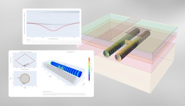
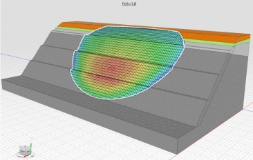
RST Inclinalysis™ Software is powerful and easy to use. Plotting, manipulating data and printing are all only a few clicks away. Menu and plot functions
are designed to be intuitive making the progra...
The RSTAR Affinity software platform is the turnkey data solution for your Industrial Internet of Things (IIoT) projects. Setup is simple and it is easy to use in your established geotechnical workflo...
The SCS (Syscom Cloud Software) is a turnkey solution for the visualization, management and reporting of data coming from any MR3003 or ROCK instruments.
Stores, calculates and reports monitoring installation and results for Settlement Markers, Survey Prism, Rod Settlement Gauge, Standpipe and Vibrating Wire Piezometer, Magnetic Extensometer and Inclin...
FlowWorks contains a powerful suite of data collection, monitoring, analysis, and reporting tools, enabling you to efficiently manage all your monitoring systems through a single web interface.
Geoengineer.org uses third party cookies to improve our website and your experience when using it. To find out more about the cookies we use and how to delete them visit our Cookies page. Allow cookies