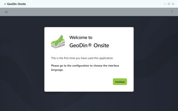
Seequent, The Bentley Subsurface Company's GeoStudio Remote Getting Started - August 2026 begins on Aug 5th 2026
Software
Seequent, The Bentley Subsurface Company's GeoStudio Remote Getting Started - August 2026 begins on Aug 5th 2026
Create a free account and view content that fits your specific interests in geotechnical engineering Learn More


Visualization Software

EAW Light Featured

Motionary Featured

Inclinalysis Featured

RSSeismic Featured

KeyLogBook Featured

- Individual Software
- Freeware
- Deep Excavations Earth Retaining Structures Retaining Walls Landslides Constitutive Modeling / Soil Behavior Numerical & Constitutive Modeling Finite Element / Finite Difference Rock Engineering Slope Stability Analysis Tunneling Tunneling In Rock Tunneling In Soils Underground Structures Visualization
Aspen by Newsoft is a Windows-based software for slope stability analysis using limit equilibrium methods, with detailed modeling of geometry, stratigraphy, and groundwater conditions. It supports exc...

.

LOGitEASY
US$ 10,00

- Midas IT
- Commercial
- Dam Engineering Tailings Dams Concrete / Rollercrete Dams Earth / Rockfill Dams Arch Dams Buttress Dams Deep Excavations Earth Retaining Structures Retaining Walls Mechanically Stabilized Earth (Mse) Walls Foundation Design / Construction Deep Foundations Shallow Foundations Pile Foundations Shaft Foundations Caisson Foundations Geotechnical Earthquake Engineering Seismic Slope Stability Liquefaction Engineering Soil Structure Interaction Ground Improvement Prefabricated Vertical Drains Groundwater & Seepage Seepage Landslides Levees Mining Numerical & Constitutive Modeling Constitutive Modeling / Soil Behavior Railway Geotechnics Offshore Geotechnics Rock Engineering Slope Stability Slope Stability Analysis Soil Dynamics Soil Mechanics Settlements Tunneling Tunneling In Rock Tunneling In Soils Underground Structures Visualization Other Geotechnical