Oasis montaj Featured

Geophysical software for processing, filtering, and interpreting survey data.
Download DocumentationTransform geophysical data into decisions
Oasis montaj is industry-standard software for geophysicists to process, filter, and model geophysical survey data. It enables users to create reliable subsurface interpretations by integrating large geophysical datasets with other geoscience data in a user-friendly application. This software is ideal for geophysicists and geological survey bodies in the mineral resources, energy, environmental, or on/offshore infrastructure industries who require accuracy, power, and versatility.
Large-scale data handling
Import, process, and manage large volumes of varied geoscientific data types and formats without database size constraints.
Industry-trusted solutions
Widely recognised and accepted for tenders by governmental and private companies, with industry-standard database and grid formats available for download from governmental data services.
Unified workflows
Streamline geophysical workflows with tools for acquiring, processing, and interpreting survey data. Create detailed models that integrate seamlessly with Leapfrog and share results via Central for efficient collaboration and data management.
Coordinate transformations
On-the-fly reprojection allows you to effortlessly combine geospatial datasets that use different coordinate reference systems.
Advanced filtering
Apply a wide range of filters or use the math expression builder to process and analyse data to improve the precision of your interpretations.
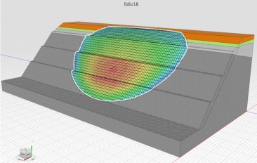
Gridding and visualisation
Create and visualise 2D and 3D geophysical data grids, interpolate data with advanced gridding methods, and merge geophysical grids quickly and accurately."
| Category | Geophysics , Engineering Geology , Data Management |
| Licence Type | Commercial |
| Developer | Seequent |
| Developer Website | https://www.seequent.com/products-solutions/oasis-montaj/?utm_medium=publication&utm_source=referral&utm_term=civil&utm_campaign=2026_civil_geoengineer.org_pd_global&utm_content=product_listing |
Recommended Software

Res2DInv and Res3DInv


Seequent Central

Leapfrog Works

OpenGround