Expanding the Rocscience Software Ecosystem with New ShapeMetriX Integrations Sponsored
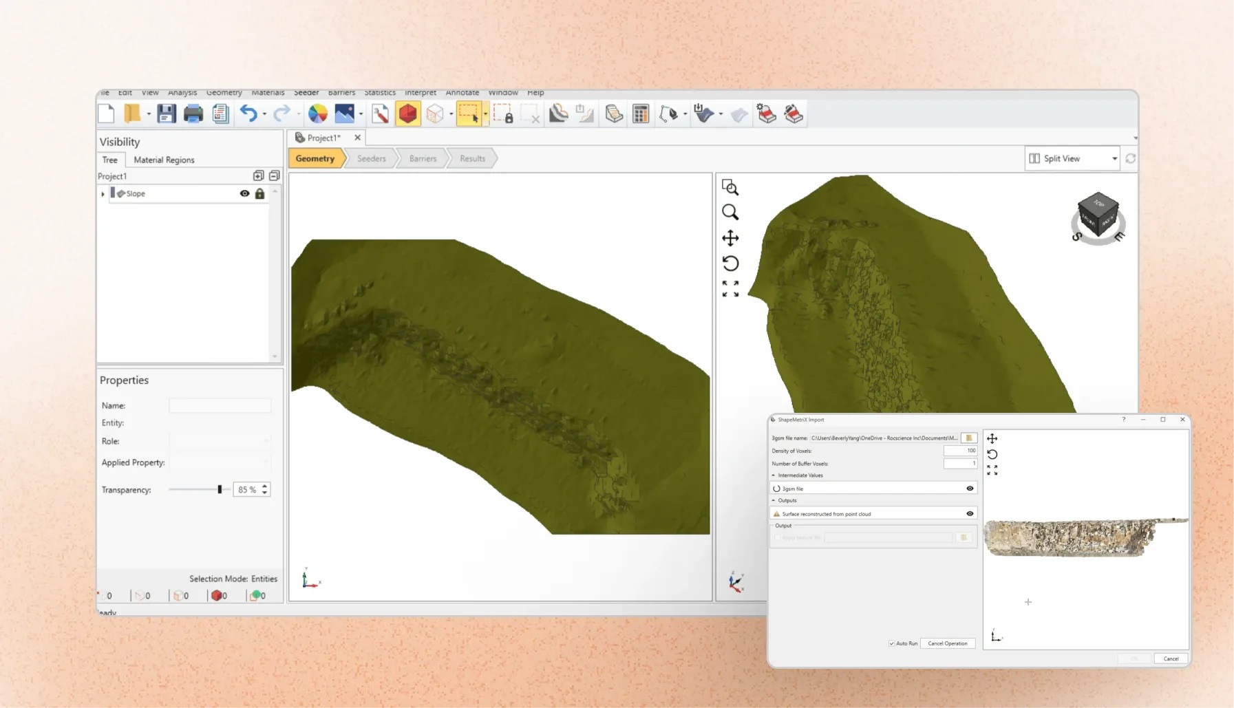
Bringing high-resolution 3D data directly into underground excavation and rockfall analysis
Modern geotechnical projects increasingly rely on detailed field data to understand complex rock conditions. Photogrammetry, LiDAR, and digital mapping technologies allow engineers to capture rock surfaces with unprecedented detail, but turning that data into actionable engineering insights often requires multiple software workflows, manual conversions, and time-consuming model preparation.
The latest integrations between ShapeMetriX and RocFall3, as well as ShapeMetriX and RocTunnel3, simplify this process by creating a direct connection between field data acquisition and engineering analysis. Engineers can now transfer 3D geometries directly into analysis workflows, helping them build more realistic models, evaluate potential hazards, and make more informed design decisions.
From Digital Mapping to Engineering Analysis
ShapeMetriX provides a powerful workflow for creating detailed, high-resolution 3D models from digital imagery, LiDAR scans, and other survey datasets. Using photogrammetry and advanced mapping capabilities, engineers can generate accurate representations of rock slopes, tunnel excavations, and exposed rock surfaces – as well as the discontinuities present in them – without relying solely on traditional manual mapping methods.
With ShapeMetriX, users can:
- Generate high-resolution 3D models from drone imagery, handheld cameras, or laser scanner data.
- Perform detailed, contact-free geological mapping of discontinuities and structural features.
- Measure joint orientations, locations, and geometric properties.
- Export 3D geometries and mapped discontinuity data for direct use in DIPS, RocSlope3, RocFall3, and RocTunnel3.
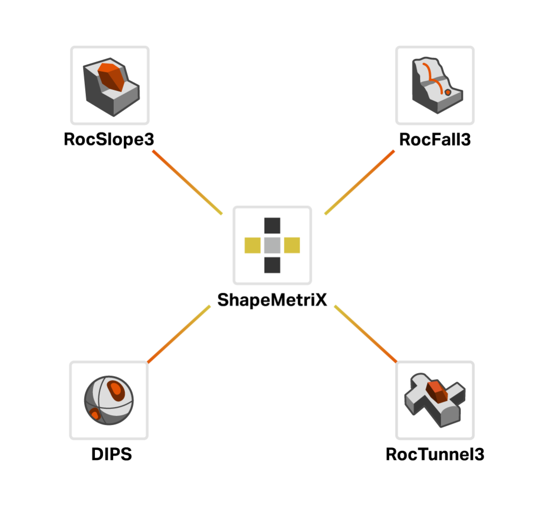
By connecting ShapeMetriX with RocFall3 and RocTunnel3, this field information can now move directly into analysis environments, reducing manual data handling and preserving the accuracy of the original survey data.
ShapeMetriX and RocFall3: Bringing Real-World Geometry into 3D Rockfall Analysis
Rockfall assessments depend heavily on accurately representing the terrain and rock surfaces where failures may originate. Traditional workflows often require engineers to simplify complex slopes into idealized geometries, which can introduce uncertainty into hazard predictions.
With the new integration with ShapeMetriX, engineers can directly import detailed 3D surface models generated from field data into RocFall3 – enabling them to perform rockfall simulations using realistic slope geometries captured from the site.
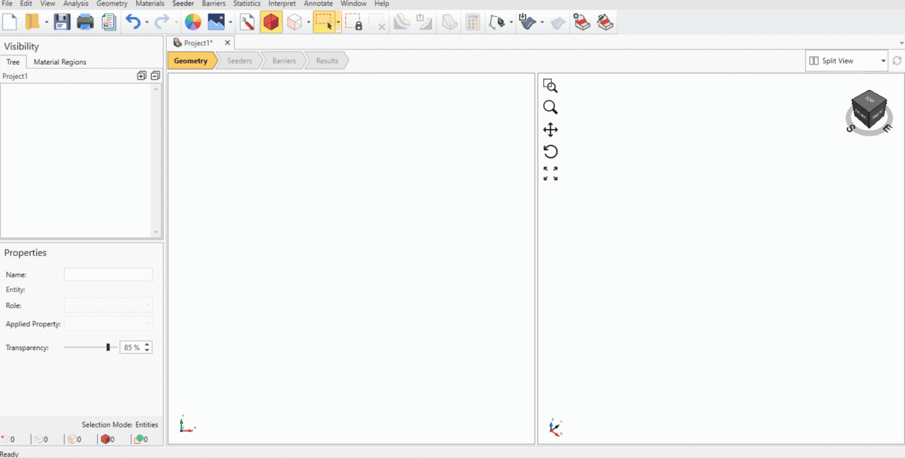
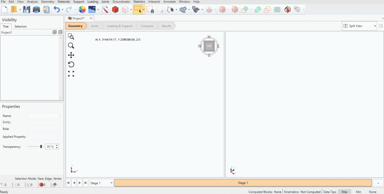
The workflow enables engineers to: Import ShapeMetriX-generated 3D surface geometry into RocFall3. Analyse rockfall trajectories on realistic terrain conditions. Evaluate potential impact zones and hazard areas. Model more representative rockfall barrier designs for complex rock slopes. By shrinking the gap between field reality and analytical models, engineers can perform rockfall assessments based on actual site geometry rather than simplified assumptions. ShapeMetriX and RocTunnel3: Building More Realistic Underground Excavation Models The ShapeMetriX–RocTunnel3 integration allows engineers to import detailed as-built excavation geometries and mapped geological structures directly into RocTunnel3. This creates a more representative model of actual underground conditions, helping engineers assess structurally controlled block failures and evaluate support strategies.
With this workflow, engineers can:
- Import as-built excavation geometries generated from photogrammetry or LiDAR.
- Bring in mapped joints, including their orientations, locations, and sizes.
- Model excavation stages and evaluate potential block instability.
- Evaluate support requirements and stabilisation strategies for potentially unstable blocks.
Instead of recreating excavation geometries manually or using multiple software workflows, engineers can move directly from field conditions to 3D block stability analysis.
One Connected Workflow from Capture to Analysis
The expansion of ShapeMetriX’s integration arsenal to RocTunnel3 and RocFall3 reflects a broader shift toward connected geotechnical workflows, where data collected in the field can move seamlessly into engineering analyses.
The workflow is straightforward:
- Capture
Collect high-resolution imagery or LiDAR data from slopes, tunnels, or exposed rock surfaces. - Model and Map
Generate detailed 3D models and characterize geological structures in ShapeMetriX. - Import and Analyse
Transfer geometry and structural data into RocTunnel3 or RocFall3 for advanced stability and hazard assessment. - Make Better Decisions
Use realistic models to identify risks, evaluate mitigation strategies, and support safer designs.
A More Complete View of Rock Engineering Conditions
Together with the existing DIPS and RocSlope3 integrations, these additions establish ShapeMetriX as a central source of high-resolution field data across multiple Rocscience applications.
Whether assessing block stability on rock slopes, evaluating underground excavations, or modelling rockfall hazards, engineers can now work from the same surveyed geometry and mapped geological structures throughout the analysis process. The result is a more connected workflow that reduces data handling, minimizes opportunities for error, and keeps engineering decisions grounded in the conditions observed in the field.
Want to read more like this story?

RocTunnel3; Your New Software for 3D Underground Rock Stability Analysis and Design
Jul, 09, 2024 | NewsLooking for a more intuitive way to model complex underground geometry? It’s about to get easier...

Rocscience | Geotechnical Software for Open Pit Mining
Aug, 22, 2022 | NewsSurface mining, whether you call it open pit, opencast, or open cut is a common method of extractin...
3D Slope Models: Simple. Accurate. Powerful.
Sep, 14, 2025 | EventFollowing the resounding success of our inaugural event in Almaty in 2024, Rocscience is delighted...

Meet DIPS: The New Standard in Orientation Analysis
Jan, 22, 2026 | NewsFor more than 30 years, DIPS (Data Integration using Projected Stereonets) has set the benchmark fo...

The Definitive Guide to Rocscience’s Geotechnical Software Integrations
Aug, 06, 2024 | NewsCivil and mining engineers have always relied on innovative geotechnical solutions for their comple...
RocSlope3 and RocFall3’s Integrations for Rock Slope Analysis
Apr, 09, 2024 | NewsAs RocSlope3 and RocFall3 continue to evolve, this article looks at the exciting possibilities that...

Leapfrog Works
Dec, 29, 2022 | Software
Block Model Import & Slope Analysis in Slide3
Jul, 02, 2021 | NewsThe industry insight you have as a practicing engineer is valuable. At Rocscience, we are always op...

RocFall3
Jul, 12, 2022 | SoftwareForm
Looking for more information? Fill in the form and we will contact Rocscience Inc. for you.
On This Day
August 25th 1970
READ MORE
Related Video

Trending

New crustal stress map of North America

Using Terzaghi’s Equation in Foundation Design

Parameters Variation: Model Customization and Sensitivity Analyses

UK geothermal projects expand from Cornwall power to Birmingham heating
Nepal’s Himalayan settlements face escalating flood and landslide threats