New crustal stress map of North America

A new study presents the first quantitative stress magnitude map that also includes horizontal stress orientations in North America.
The findings were recently published in Nature Communications.
The earth's crust is subjected to different types of stresses that are generated by geological processes (e.g. plate tectonics) and gravitational forces. The development of the earth's crust stress field is a highly complex phenomenon thus deriving quantitative data has been challenging. Usually, the stress tensor components have many uncertainties.
Stresses in the crust are interpreted in terms of principal stresses. The principal stresses consist of the vertical stress and two horizontal stresses defined as minimum horizontal and maximum horizontal stress.
Scientists collected and assessed data from borehole measurements across the United States. Moreover, they incorporated 2000 measurements of the direction of the maximum principal stress in many locations. They also added a spatial distribution of earthquakes' focal mechanism (normal faulting, strike-slip faulting, or reverse faulting) by analyzing fault systems based on seismic shocks that occurred in each region.
“In our hazards maps right now, in most places, we don’t have direct evidence of what kind of earthquake mechanisms could occur. It's exciting that we have switched from this blind assumption of anything is possible to having some location-specific inferences about what types of earthquakes we might expect,” Jack Baker, Professor of Civil and Environmental Engineering at Stanford University, stated.
The new scientific evidence will shed light on natural and human-induced earthquake risks, and provide crucial information about unconventional oil and gas exploration in North America. “If you know an orientation of any fault and the state of stress nearby, you know how likely it is to fail and whether you should be concerned about it in both naturally-triggered and industry-triggered earthquake scenarios,” Jens-Erik Lund Snee, a postdoctoral fellow with the United States Geological Survey (USGS) in Lakewood, Colorado who recently obtained his Ph.D. in Geophysics at Stanford University, explained.
In the western United States, the study showed an unexpected pattern. Scientists found that focal mechanisms and the stress types radically vary within short distances. “We see things we’ve never seen before that require geologic explanation. This will teach us new things about how the Earth works,” Mark Zoback, co-author of the study and the Benjamin M. Page Professor of Geophysics in Stanford’s School of Earth, Energy & Environmental Sciences, said.
The researchers found that, in certain regions, their findings are in good agreement with research conducted before. However, there were areas where the previous data were inconsistent with the new findings. For example, in the eastern United States, the study reveals a reverse faulting network associated with the glacier melting that covered much of the northern Unites States and Canada, in opposition to what previous research suggests.
Source: Stanford University
Want to read more like this story?

2.1. Normal and Shear Stress
Mar, 27, 2023 | EducationStress Tensor σij = stress tensor i,j = 1,2,3 i = j → normal stress (σ) i ≠ j → shear...

2.2. Stresses as a result of the soil self-weight
Apr, 03, 2023 | EducationGeostatic stresses When the soil has a horizontal surface and there is no horizontal variabilit...
Stress Transform
Oct, 01, 2013 | SoftwareAHSM - Analysis of Horizontal Stress Effects in Mining
Sep, 18, 2023 | Software
Earthquakes triggered by landslides
Jul, 02, 2020 | NewsIt is widely known that earthquakes can trigger disastrous landslides but, what about the opposite?...
PLAXIS for Deep Underground Excavation in Rock Mass
Mar, 01, 2022 | NewsRock at depth is subjected to stresses resulting from the weight of the overlying strata and from l...
Chapter 2: Stresses in Soils
Mar, 27, 2023 | Education
Constitutive Modeling / Soil Behavior
Jun, 30, 2025 | EducationConstitutive Models in Geotechnical Engineering In geotechnical engineering, understanding the b...
VertekCPT: What is the effect of Overburden Stress on CPT testing ?
May, 22, 2015 | NewsOverburden Stress, also called Vertical Stress or Overburden Pressure, is the pressure imposed on a...
On This Day
Trending
Emergency protocols activated following offshore 7.7 magnitude earthquake in Japan
When Dams Fail: The Growing Crisis of Tailings Management

What controls the height of the world's mountains?

Seequent announced extended gINT support until Dec 31, 2028
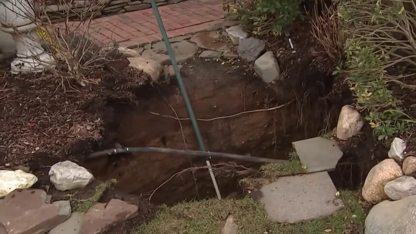
Sinkhole outside home in Huntington Station, on Long Island: 3 fall into
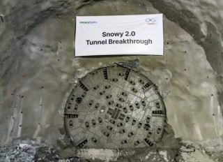
Tailrace tunnel breakthrough advances Australia’s largest renewable project