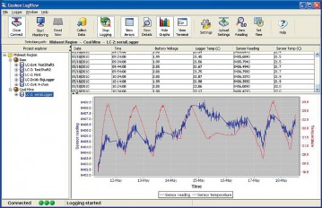
LogView Software simplifies the task of configuration, communication, monitoring, data collection and data reduction using the Geokon Model 8001 (LC-1) and Model 8002 (LC-2) Series Dataloggers. The so...
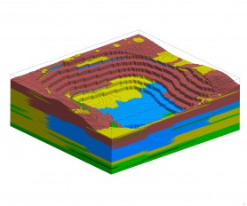
RockWorks is the standard in the petroleum, environmental, geotechnical and mining industries for surface and subsurface data visualization, with popular tools such as maps, logs, cross sections, fenc...
SeismoMatch is an application capable of adjusting earthquake accelerograms to match a specific target response spectrum, using the wavelets algorithm proposed by Abrahamson [1992] and Hancock et al....
The ENERCALC Project Manager is a file structure that wraps up all these separate documents into a single Project that can be managed and printed as your building department submittal.
General-purpose desktop GIS software for geospatial data creation, editing, mapping, modeling, and analysis. Powerful built-in Python scripting environment for customization and adding feature extens...
VDV is a comprehensive data management system for storing measured data, offering web access, alarm service, reports and application specific data handling toolkits for various disciplines.
Geoengineer.org uses third party cookies to improve our website and your experience when using it. To find out more about the cookies we use and how to delete them visit our Cookies page. Allow cookies