Are you collecting project data using drone imagery or other aerial imagery?
Check out Bentley's Tech Talk to hear from site design experts. This session shows how with SITEOPS and ContextCapture designers can quickly use the data to create site and grading plans backed up by a detailed budget.
n this video, you will learn how to: Import ContextCapture models into SITEOPS for creating surface model of existing conditions Export SITEOPS design and ContextCapture data to LumenRT to create unmatched 3D visualizations SITEOPS, ContextCapture, and LumenRT workflow allows users to look at more design options in less time than ever before Illustrate to stakeholders how your project design will impact the surround community.
Source: https://www.bentley.com/en
Source: https://www.bentley.com/en
Media
Want to read more like this story?

Inspectioneering and Continuous Surveying Made Possible with Reality Modeling
May, 15, 2017 | NewsWith ContextCapture by Bentley, you can produce even the largest and most challenging 3D models of e...

Bentley: ContextCapture Improves Quality of Reality Modeling Within Geospatial Workflows
Aug, 02, 2016 | NewsBentley Systems announces general access to the latest release of ContextCapture and ContextCapture...

Leapfrog Works
Dec, 29, 2022 | Software
Bentley Webinar: Geotechnical Engineering for Embankments
Apr, 06, 2020 | EventWhen it comes to embankments, geotechnical engineers must often design against loading and localize...

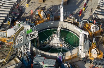
Tongzhou Water Works of Beijing South-to-North Water Diversion Project
May, 14, 2018 | NewsIn southeast Beijing, China’s declining groundwater supplies caused water shortages for the Tongzhou...
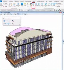
Bentley announces the availability of AECOsim Building Designer CONNECT Edition
Jun, 22, 2017 | NewsBentley announces AECOsim Building Designer CONNECT Edition. Bentley is pleased to announce...

Enviro Data
Nov, 07, 2013 | Software
Bentley’s OpenGround Cloud Platform: Increase the Value of your Geotechnical Data
Jul, 21, 2020 | NewsOpenGround Cloud, Bentley's secure enterprise cloud collaboration platform for geotechnical data ma...

Sydney Airport Optimizes Multi-discipline Collaboration with Infrastructure Facilities Management System
Nov, 24, 2016 | NewsBentley Technology Delivers a Single Source of Truth for Effective Information Mobility among Projec...
Form
Looking for more information? Fill in the form and we will contact Bentley for you. Alternatively, you can visit Bentley's website and speak with a Bentley Geotechnical Expert.
On This Day
July 21st 1926
READ MORE
Related Video

Trending

China's Three Gorges Dam under pressure: Flood hazard downstream

Functional requirements of foundation structures


Landslide in Papua New Guinea: At least 12 people dead

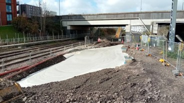
Emergency ground stabilisation protects rail works near Salford Central