Orica Digital Solutions Geosolutions' Unlocking operational insights for subsurface injection and production with InSAR data begins on Jul 21st 2026
Bentley 3D GIS solution
News Geomatics
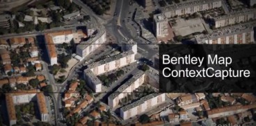
Quickly access, edit, analyze, and share your GIS data in a powerful MicroStation environment leveraging a 3D model with fine and photorealistic detail, sharp edges, and precise geometric accuracy.
Related Videos


Read more about this
Bentley 3D GIS solution
Oct, 11, 2018 | NewsBentley enables you to associate GIS data with your reality model. Using a GIS you can do it all....