Bentley enables you to associate GIS data with your reality model.
Using a GIS you can do it all. Create, maintain, analyze, and share your geospatial, engineering, and business information in a powerful, yet familiar MicroStation environment. Work confidently with engineering-quality GIS to produce quality maps and unify disparate 2D/3D data.
Quickly access, edit, analyze, and share your GIS data in a powerful MicroStation environment leveraging a 3D model with fine and photorealistic detail, sharp edges, and precise geometric accuracy.
See Bentley's demo video below to see how you can associate GIS data with your reality model.
Media
Want to read more like this story?
gINT Software Webinar Series to Focus on Enterprise Solutions and GIS Applications - Topics to include how to improve subsurface data in GIS interface
Sep, 14, 2009 | NewsgINT Software will be hosting a series of webinars in September and in October covering a wide varie...

Sydney Airport Optimizes Multi-discipline Collaboration with Infrastructure Facilities Management System
Nov, 24, 2016 | NewsBentley Technology Delivers a Single Source of Truth for Effective Information Mobility among Projec...

Leapfrog Works
Dec, 29, 2022 | Software
Bentley Announces Immediate Availability of the Bentley Map Mobile App
Jul, 16, 2013 | NewsNew App Empowers Infrastructure Professionals to Share Bentley Map Geospatial Information With Fiel...

ACCELERATE: Going Digital with OpenGround
May, 26, 2020 | EventRegister for free to Bentley's upcoming webinar to learn more about OpenGround, a collection of geo...

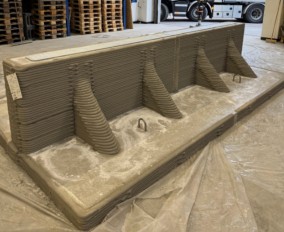
How to create 3D dykes using SOIVISION 3D extrusion tools
Sep, 04, 2020 | NewsAdvanced 3D tools such as SVDESIGNER offer a lot of power to the user, but such power is not alw...

The City of Helsinki leverages Bentley's reality modeling software to create 3D city model
Apr, 04, 2017 | NewsThe City of Helsinki launched a EUR 1 million project to produce a 3D representation of the city to...

3D Mining Complex Virtual Tour
Nov, 10, 2016 | NewsThe EUR 20,000 project required to create a 3D virtual tour of Italy’s Porto Flavia and Galleria Hen...

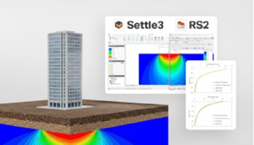
Why Run PLAXIS 3D Analysis?
Jun, 07, 2021 | NewsMost geotechnical engineers use FEA software packages for their geotechnical design. It is especial...
Form
Looking for more information? Fill in the form and we will contact Bentley for you. Alternatively, you can visit Bentley's website and speak with a Bentley Geotechnical Expert.
On This Day
July 20th 1837
READ MORE
Related Video

Trending

Quick Clay Failure on Norway’s E6 at Levanger

Keller North America announces recent leadership changes

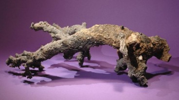
Fulgurite: A rare phenomenon

Stop Guessing, Start Designing: Introducing Support Designer in Slide2
Development program prepares new engineers for success