Smarter Sampling, Safer Terrain: How Machine Learning Is Redefining Landslide Risk Mapping


Source: nature.com
Want to read more like this story?
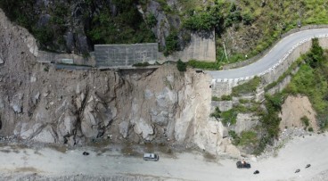
Landslides
Oct, 31, 2019 | Education

45% of Himachal Pradesh at Risk of Landslides and Floods – What Can Be Done?
Feb, 19, 2025 | NewsA recent geospatial study has revealed that over 45% of Himachal Pradesh is highly susceptible to l...

About less deadly landslides!
Mar, 24, 2015 | NewsCould the Oso landslide have been avoided? Are there more landslide prone areas across the country a...

NASA maps landslides in central America caused by hurricane Eta
Nov, 10, 2020 | NewsNASA is currently mapping the landslides that were triggered during the passage of Hurricane Eta th...

Risk assessment of rainfall-induced landslides in urban regions
Aug, 09, 2021 | NewsA new study suggests that urban areas are more prone to rainfall-induced landslides compared to rur...

Urban areas at greater risk for landslides due to the effects of precipitation
Aug, 09, 2021 | NewsA new study indicates that urbanized areas are more prone to landslides caused by precipitation tha...

AI-enhanced landslide model ready for 2026 deployment in Hong Kong
Oct, 14, 2025 | NewsHong Kong’s Geotechnical Engineering Office (GEO) has introduced a new AI-powered landslip warning...

Hazard of landslide-triggered tsunamis due to glaciers melting
Sep, 14, 2018 | NewsA new study shows that landslides, on slopes where ice retreats, can trigger massive tsunamis. Ic...

Risk assessment on natural disasters in densely populated Himalayan regions
Sep, 18, 2021 | NewsA new study focuses on the multi-hazard susceptibility of a densely populated region in the Himalay...
On This Day
July 23rd 1972
READ MORE
Related Video

Trending

China's Three Gorges Dam under pressure: Flood hazard downstream

Functional requirements of foundation structures


Landslide in Papua New Guinea: At least 12 people dead

Nepal’s Himalayan settlements face escalating flood and landslide threats