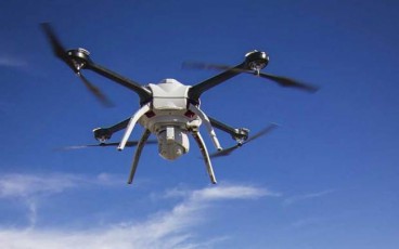
Drones in the Arctic Sea

One of the main jobs of geotechnical engineers is collecting and reporting data from the field. Drones have been aiding this process for many years.
One of the main jobs of geotechnical engineers is collecting and reporting data from the field. Drones have been aiding this process for many years. ConcoPhilips has launched the first commercial drone flight in the Arctic Sea. ConcoPhilips is using information gathered from drones prior to oil and gas exploration.
The drone flights will record information on mammal movement and ice floats. This information will be used for environmental and safety concerns.
According to the Federal Aviation Administration (FAA) this will not be the last drone flight over the Chukchi Sea. Information gathered from drones can be used for many operations including search and rescue, fisheries, marine wildlife observations, further oil and gas exploration, and vessel route planning.
Source: Federal Aviation Administration
Want to read more like this story?

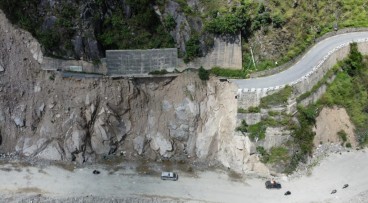
Drones and AI Data: How Hong Kong Is Advancing Landslide Prevention
Jun, 26, 2025 | NewsWith growing attention to geotechnical resilience, new technologies are being introduced to improve...
Cowi employs drones for dam surveys in Zambia
Mar, 07, 2017 | NewsThe company is using the drones for topographical measurements regarding the construction of 100 dam...

Revolutionizing Offshore Surveys: Drones Take the Lead in Wind Farm Development
Dec, 16, 2024 | NewsThe future of offshore wind farm surveys is here, with drones set to play a pivotal role in mapping...

Bentley Webinar: Advance your digital workflow with OpenGround
Aug, 27, 2021 | EventJoin Katie Aguilar, Application Engineer, Kyle Hao Shen, Product Advancement Engineer and Seequent...

2023 Geotechnical job market analysis
Mar, 27, 2024 | NewsInterested in seeing some facts about the Geotechnical Engineer job market? Below we present you su...

Bentley’s OpenGround Cloud Platform: Increase the Value of your Geotechnical Data
Jul, 21, 2020 | NewsOpenGround Cloud, Bentley's secure enterprise cloud collaboration platform for geotechnical data ma...

[Video]: Enjoy a drone flight in Crossrail's tunnels!
Mar, 13, 2015 | NewsFor the first time, BBC was allowed to fly a drone along Crossrail's tunnels and the video is provid...

Unveiling Ancient Settlements in Colombia with Advanced Remote Sensing
Nov, 22, 2024 | NewsThe dense forests of Colombia hold secrets of ancient civilizations, and now, thanks to affordable...
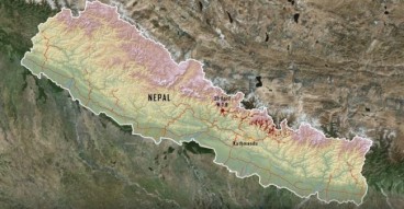
Researchers use Drones to Map Landslides in Nepal.
Mar, 21, 2016 | NewsThe landslides were caused by the Gorkha 2015 earthquake. More than 20,000 landslides took place...
On This Day

Related Video

Trending

Dubai approves $9.2bn fully underground gold line metro
How to prevent copper wire theft from light poles
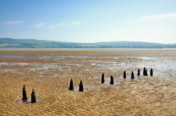
The quicksand of Morecambe Bay

Model Structures and Visualize Structural Forces
Rapid Drawdown in Dam and Levee Design: A Hydrogeologic Perspective in Slide2
Nepal’s Himalayan settlements face escalating flood and landslide threats