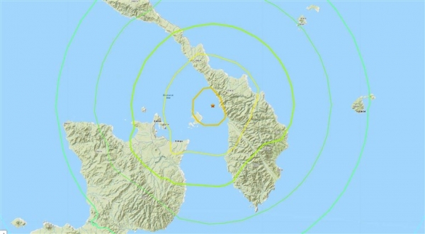
The epicenter of the temblor is located between the New Britain and the New Ireland islands about 45 km northeast of Kokopo city.
The Pacific Tsunami Warning Center quickly announced an alert about a potential tsunami threat. Based on the preliminary earthquake parameters, hazardous tsunami waves are possible for coasts located within 1,000 km of the earthquake epicenter," they stated. However, few hours later, the hazard had passed and the alert was canceled.
Fortunately, despite the ferocity of the shock, no casualties were reported, according to recent updates. As expected, some structural failures and power outages were triggered in the area.
According to the United States Geological Survey (USGS), the seismic shock was caused by a shallow strike-slip fault. In the region, The Pacific Plate is subducting under the Australian Plate. Some scientists believe that, at the epicentral area, the tips of the Australia and Pacific plates are divided in smaller plates (microplates) that bear the total convergence.
Papua New Guinea is located along the Pacific Ring of Fire, a particularly earthquake-prone zone. Within a 250-km region of the temblor's epicenter, 36 more large earthquakes (> M7.0) have occurred over the last 100 years with 3 of them being greater than M 8.0. On November 2000, a massive M 8.0 earthquake followed by two M 7.8 aftershocks struck the region causing building collapses, landslide, large evacuations and one death.