Landslide swept away section of Highway 1 in California
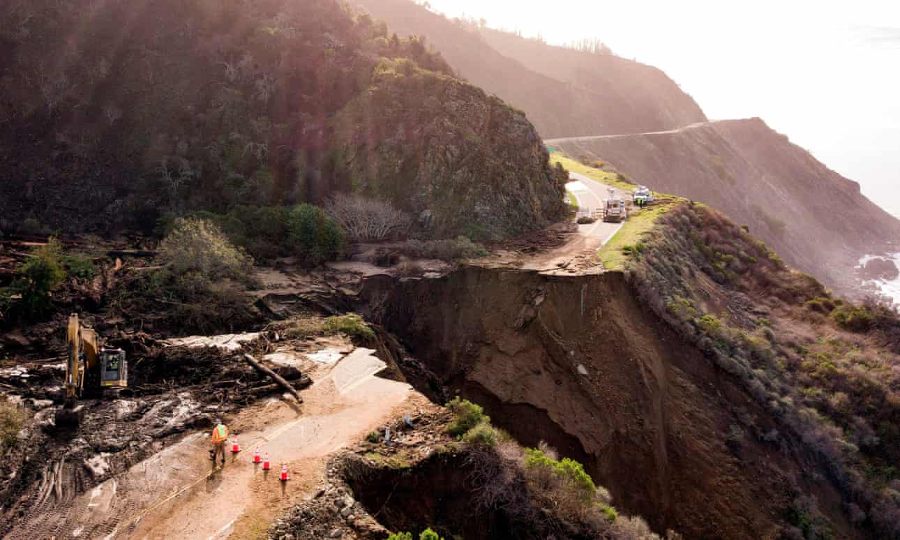
A 45-meter section of California's Highway 1 has been swept away by a large landslide.
Highway 1 is the longest route in California stretching for more than 1,000 km and running along the western coast of the United States. However, it is situated on relatively steep slopes that are prone to coastal erosion and have historically caused landslides and subsequently, structural damage. According to certain reports, the Highway has not been continuously operational for more than a year since its opening in 1937. “This road is prone to rockfalls and slides, and this is just the nature of the highway. We built a road on the edge of a continent, and we have the forces of the hillside and the ocean always at play,” Kevin Drabinski, a spokesman for the California Department of Transportation, stated.
The ground failure struck Highway 1 near Rat Creek (around 32 km away from Big Sur) on Friday, January 29, 2021. A large section of the road and massive amounts of debris ended up into the Pacific Ocean. Drone Footage from the failure can be found in the Media Section below.
Based on the existing sources, it is probable that intense rainfalls triggered a debris flow above the roadway which destroyed the drainage infrastructure and caused soil saturation and pore-water pressure to build up beneath the road. The increase of pore-water pressure in saturated soil results in a significant loss of shear strength and can be a triggering factor for landslides. It is probable that additional materials (e.g. debris, trees, boulders, etc.) that were deposited at the roadway the previous day, increased the stresses applied to the soil beneath and contributing to the landslide. Fortunately, authorities had closed the highway on time and no casualties were reported.
Scientists believe that the ground failure is associated with the wildfires that have devastated California in the past years. The absence of vegetation makes the absorption of rainwater impossible and results in extensive floods and in debris flows like the one that triggered the current failure. The area of the collapse lies near a region that was impacted by the Dolan fire (August 2020) and received more than 400mm of precipitation.
The section of the roadway will remain closed for a significant amount of time while the total cost of repair works has not been determined yet. Travelers can use a parallel highway (U.S. 101) to avoid the damaged section but the distance and time of travel are significantly increased.
The roadway failure has attracted the attention of interest but, there are 60 more locations along the highway that were also impacted by falling debris. Extensive repair works are being implemented to restore the affected sections.
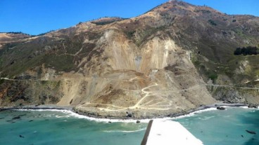
In 2017, a massive landslide struck Highway 1 at Mud Creek, Big Sur coast. The landslide impacted a road section of 250 meters. It measured more than 10 meters in depth and carried away more than 1 million tons of debris.
Sources: CNN, Guardian, NYtimes, USAtoday
Image Gallery


Media
- Drone Footage Shows Collapse of Highway 1 Near Big Sur
- San Francisco Chronicle
Want to read more like this story?

Massive landslide buries part of California highway (video)
May, 24, 2017 | NewsPart of the mountainside went off into the Pacific Ocean, covering up a big part of scenic Highway 1...

California’s Highway 1 to remain closed after landslide induced collapse
Mar, 30, 2024 | NewsPart of California’s iconic Highway 1 was swept into the ocean by a landslide that took place aroun...

Landslide collapses hotel and shops along Jammu-Srinagar highway
Oct, 12, 2025 | NewsA substantial landslide along the Jammu–Srinagar National Highway (NH-44) caused the collapse of a...

California Highway 1 re-opens a year after landslide
Jul, 30, 2018 | NewsA section of Highway 1 in California re-opened 14 months after a major landslide buried the road whi...

Rockslide caught on camera blocks a major highway in India
Sep, 05, 2020 | NewsA major highway in India was closed due to a large rockslide. The landslide struck on Saturday, Sep...
What caused the massive landslide in California's Big Sur
Feb, 08, 2019 | NewsScientists have conducted detailed investigation about the causes of the Mud Creek major landsl...

Introduction to Slope Stability
Mar, 03, 2021 | EducationTopics on Slope Stability Analysis Geoengineer.org has gathered and presented educational mate...
Slow-moving landslide discovered near the 2014 Oso landslide site in Washington
Apr, 09, 2017 | NewsSigns of the landslide were first discovered on Tuesday, April 4 by Washington's Department of Trans...
Landslides
Oct, 31, 2019 | Education
On This Day
July 17th 1839
READ MORE
Related Video

Trending

Tiebacks vs. soil nails: Choosing the right earth retention solution
When Dams Fail: The Growing Crisis of Tailings Management
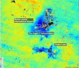
Mexico City’s sinking crisis mapped by next-generation satellite
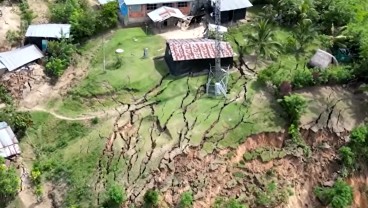
Landslide in Northern Peru Forces Evacuation of Over 170 Residents
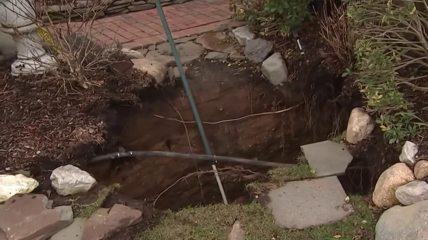
Sinkhole outside home in Huntington Station, on Long Island: 3 fall into

Tailrace tunnel breakthrough advances Australia’s largest renewable project

A Legacy of Leadership, Mentorship & Service: Gary L. Seider P.E.