Unmanned Aerial Vehicles create 3D models of Geotechnical Projects

A paper published in open-access in the ISSMGE International Journal of Geoengineering Case Histories highlights the role that Unmanned Aerial Vehicles (UAVs) can have in geotechnical engineering.
UAVs are used with the Structure-from-Motion (SfM) methodology, to create 3D models of a variety of geo-infrastructure.
Specifically, the application of the methodology at twenty-six sites in USA, Greece, Nepal, and New Zealand and variable geologic environments are presented.
Infrastructure considered includes dams, levees, retaining walls, slopes and landslides, fault rupture sites and essentially all possible geo-infrastructure a geotechnical engineer may deal with.
It is shown that the methodology leads to an unprecedented level of mapping that covers large areas at high resolution. In addition to the high resolution models, SfM models are shown to be comparable in accuracy to other surveying techniques and mapping technologies such as light detection and ranging (LiDAR).
The paper was published by a team of researchers from the University of Michigan and other organizations, including staff from Geoengineer.org.
You can view this paper HERE.
Want to read more like this story?

Interesting new paper published by ISSMGE's Case Histories Journal
Jan, 24, 2013 | NewsISSMGE's International Journal of Geoengineering Case Histories just published a new paper called: l...

The ISSMGE International Journal of Geoengineering Case Histories launched its new Website!
Jun, 28, 2017 | NewsThe International Journal of Geoengineering Case Histories is pleased to launch its new website, whi...
New Award for Outstanding Paper in ISSMGE's CaseHistories Journal!
May, 25, 2012 | NewsLearn more about the award, and more reasons to submit your paper to ISSMGE’s International Journal...
Other Geotechnical
Jun, 04, 2019 | Education

Numerical Modelling: On the Importance of an Appropriate Soil Model
Jul, 22, 2021 | EducationThe following was prepared by Dr. Ronald B.J. Brinkgreve, and first presented by Virtuosity. Numeri...

How to create 3D dykes using SOIVISION 3D extrusion tools
Sep, 04, 2020 | NewsAdvanced 3D tools such as SVDESIGNER offer a lot of power to the user, but such power is not alw...

Keynetix Present Two Papers at the Second International Conference on Information Technology in Geo-Engineering
Aug, 06, 2014 | NewsThe Second International Conference on Information Technology in Geo-Engineering took place this Jul...

The ISSMGE International Journal of Geoengineering Case Histories announces its Social Media Presence
Jan, 23, 2018 | NewsThe ISSMGE International Journal of Geoengineering Case Histories, is excited to announce that socia...
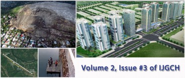
ISSMGE's Case Histories Journal releases new issue: Issue #3, Vol. 2
May, 10, 2013 | NewsGeoengineer.org is pleased to announce the 3rd Issue of Volume 2 of the International Journal of Geo...
On This Day
July 19th 1996
READ MORE
Related Video

Trending

Unstable Ground: Lessons from the I-80 New Jersey Sinkhole Saga

Seequent announced extended gINT support until Dec 31, 2028
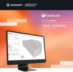
New Release: GeoStudio 2025.2

Artificial Ground Freezing: Applications, Techniques, and Key Considerations
Tailrace tunnel breakthrough advances Australia’s largest renewable project

A Legacy of Leadership, Mentorship & Service: Gary L. Seider P.E.