Remote sensing of natural hazards (ORISAT)
- Oct, 03, 2023 - Nov, 17, 2023
- Webinar Satellite-Based Geomatics
- English, Spanish, French
- Authored by: Lysimachos Tigkas
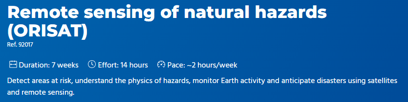
Volcanoes, glaciers, landslides, faults: these are all natural objects that can pose a major risk to populations and infrastructures. Over 4 billion people have been affected by natural disasters in the last two decades, and the IPCC report points to a very likely increase in natural hazards as a result of climate change. But can we detect areas at risk? Can we understand the physics of hazards? Can we monitor the Earth's activity? Anticipate disasters?
In this online course on remote sensing of natural hazards, we'll take a look at the big picture. We'll see how satellites, located almost 800 km above the Earth's surface, help us answer some of these questions.
Want to read more like this?

Risk assessment on natural disasters in densely populated Himalayan regions
Sep, 18, 2021 | NewsA new study focuses on the multi-hazard susceptibility of a densely populated region in the Himalay...

More than 50% of U.S. infrastructure threatened by natural hazards
Jun, 08, 2021 | NewsAccording to a new study from the University of Colorado, Boulder, about 57% of infrastructure esta...
Reconnaissance of Natural Disasters
May, 13, 2020 | Education

A mobile application for geologic hazards?
Mar, 21, 2014 | NewsWith 55% of its terrain located on areas prone to landslides, the Geotechnical Engineering Offi...

45% of Himachal Pradesh at Risk of Landslides and Floods – What Can Be Done?
Feb, 19, 2025 | NewsA recent geospatial study has revealed that over 45% of Himachal Pradesh is highly susceptible to l...

Featured Book: Underground Sensing: Monitoring and Hazard Detection for Environment and Infrastructure
Nov, 16, 2016 | NewsGeoengineer.org is pleased to announce the addition of "Monitoring and Hazard Detection for Environm...

"SimCenter Tools to Support Natural Hazards Research: From Local to Regional Scale", part of "The future of Infrastructure today!" webinar series
Mar, 27, 2024 | EventLecture date: Friday April 19, 9:00-10:00AM PST "The future of Infrastructure today!” is a monthly...

"DesignSafe: Providing Data and Computational Resources to Advance Research in Natural Hazards Engineering", part of "The future of Infrastructure today!" webinar series
Jun, 06, 2024 | EventLecture date: Friday June 21, 9:00-10:00AM PST "The future of Infrastructure today!” is a monthly w...

Sri Lanka invests in natural disaster protection
Jul, 21, 2014 | NewsAccording to a statement, released by World Bank, Sri Lanka is the first South Asian country to rece...
On This Day
July 23rd 1972
READ MORE
Related Video

Trending

Plaxis 2D/3D Basic Course – Online Training


Piling & Ground Improvement Conference 2026 (DFI-PFSF)