Illinois tornado outbreak
On November 17, 2013, the deadliest and costliest November tornado outbreak in Illinois history took shape, becoming the fourth-largest for the state overall. With more than 30 tornadoes in Indiana, it was that state's largest tornado outbreak for the month of November, and the second largest outbreak recorded in Indiana. Associated with a strong trough in the upper levels of the atmosphere, the event resulted in 77 tornadoes tracking across regions of the Midwest United States and Ohio River Valley, impacting seven states. With damage estimated at $1.6 billion, the tornado outbreak became the seventh weather event and fifth tornado outbreak in the U.S. to accrue over $1 billion in damage that year. Tornadoes alone were responsible for $1.067 billion in damage.

Mount Unzen erupted
In November 1989, an earthquake swarm began about 20 km (12 mi) underneath and 10 km (6.2 mi) west of Fugen-dake. Over the following year, earthquakes continued, and their hypocentres gradually migrated towards the summit. Finally on November 17, 1990 (Heisei 2), the first phreatic, or steam-blast, eruptions began ejecting from two places near a shrine at the summit. These eruptions only allowed vaporized hot water and ash to blow up from the two craters. In December of the same year, the volcano's state lulled and it seemed that it would end, but it erupted again on February 12, 1991, and on April 3 and 4. The eruption intensified on May 9.

The Suez Canal was completed
The Suez Canal is an artificial sea-level waterway in Egypt, connecting the Mediterranean Sea to the Red Sea through the Isthmus of Suez and dividing Africa and Asia. The 193.30 km (120.11 mi) long canal is a popular trade route between Europe and Asia. The canal officially opened on 17 November 1869. It offers vessels a direct route between the North Atlantic and northern Indian oceans via the Mediterranean Sea and the Red Sea, avoiding the South Atlantic and southern Indian oceans and reducing the journey distance from the Arabian Sea to London by approximately 8,900 kilometres (5,500 mi), to 10 days at 20 knots (37 km/h; 23 mph) or 8 days at 24 knots (44 km/h; 28 mph).

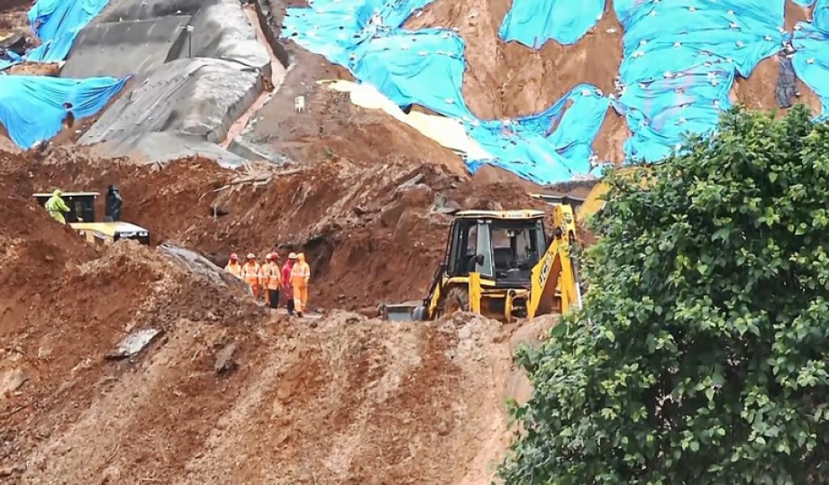
Slano Blato Landslide
The Slano Blato Landslide, or the Salt Mud Slide, is a periodic landslide in Slovenia that is triggered approximately once a century. Although around 8,000 active landslides are present in Slovenia, the Slano Blato Landslide stands out as one of the most serious in terms of the damage it has caused. It is 1,010 to 1,300 metres (3,310 to 4,270 ft) long and 60 to 250 m (200 to 820 ft) wide, covering approximately 15 hectares (37 acres) between the elevations of 360 and 660 m (1,180 and 2,170 ft). Its maximum flow rate was recorded at 100 m (330 ft)/day. In November 2000, heavy rain and warm weather triggered the Slano Blato Landslide, which buried about 15 hectares (37 acres) of grassland and forest.