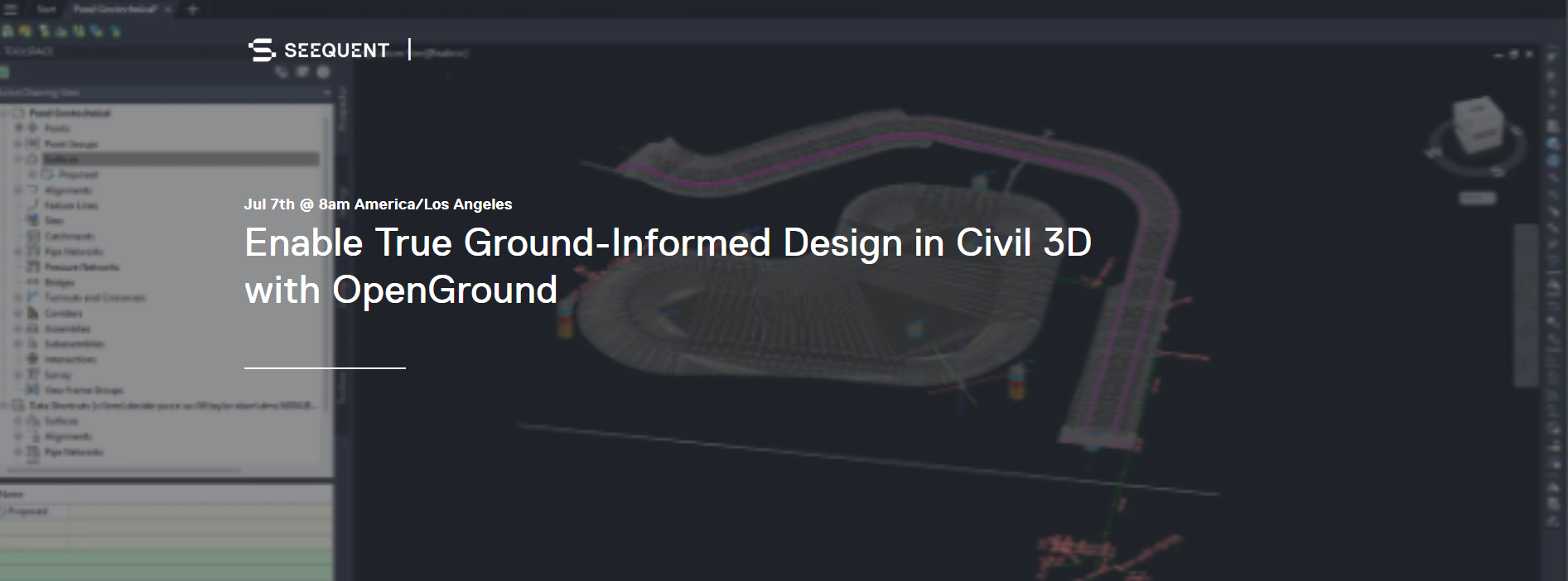
Enable True Ground-Informed Design in Civil 3D with OpenGround
- Jul, 07, 2026 - Jul, 07, 2026
- Webinar Data Management Visualization Site Characterization & In-Situ Testing (General)
- English
- Authored by: Geoengineer.org
Join us to discover how the OpenGround extension for Autodesk Civil 3D enables true ground-informed design.
Critical engineering context shouldn't be lost at design handoffs. To de-risk infrastructure projects, you need the complete geotechnical picture – not just static imports or disconnected files.
Join us to discover how the OpenGround extension for Autodesk Civil 3D enables true ground-informed design. We will demonstrate how to establish a dynamic, synchronised link to your master database, allowing you to automatically draw comprehensive geotechnical profiles, identify unsuitable materials, and execute reliable volumetric calculations.
Stop managing multiple versions of data. Equip your civil engineers, IT leaders, and project managers to work from a single source of truth and design with confidence.
You'll discover:
- The Complete Geotechnical Picture: How to save hundreds of hours by automatically drawing comprehensive profile interpretations and detailed lithology directly in Civil 3D.
- Accurate Quantity Calculations: Strategies to de-risk designs early by easily identifying unsuitable material locations and performing reliable volumetric calculations.
- A Single Source of Truth: How to deploy a dynamic link to a scalable system of record, eliminating static data transfers and ensuring governance across your enterprise.
Date/Time: Jul 7, 2026, 8am America/Los_Angeles
Want to read more like this?

Enable true ground-informed design in Civil 3D
Jul, 02, 2026 | NewsOur understanding of ground conditions evolves with the project, so geotechnical design teams need a...
Geotechnical modeler replacement: making the subsurface part of your Civil 3D design with GeoDin Ground
Jun, 30, 2026 | NewsIf you design infrastructure in Autodesk Civil 3D and you have outgrown manual borehole imports, the...

Bridging the gap between geotechnical and civil design: From OpenGround to OpenRoads
Apr, 09, 2025 | EventUnderstanding the subsurface is critical to improving infrastructure design. Join us for an insight...

Bentley System announces availability of OpenGround Cloud: The secure, cloud-based collaboration platform for geotechnical data management
Sep, 17, 2020 | NewsBentley Systems, Incorporated, has announced the availability of OpenGround Cloud, a new cloud serv...

Royal HaskoningDHV Adopts a 3D Digital Workflow to Improve Project Collaboration
Feb, 23, 2023 | NewsBy using OpenGround® to create their Geotechnical platform, Royal HaskoningDHV reduces design tim...

Bentley’s OpenGround Cloud Platform: Increase the Value of your Geotechnical Data
Jul, 21, 2020 | NewsOpenGround Cloud, Bentley's secure enterprise cloud collaboration platform for geotechnical data ma...

Keynetix develops Geotechnical Module for AutoCAD Civil 3D 2015
Aug, 07, 2014 | NewsKeynetix has recently developed a new Geotechnical module, which is incorporated into AutoCAD Civil...

Subsurface Informed Infrastructure Series: Subsurface data management and 3D modelling
Aug, 01, 2025 | EventJoin us for an online workshop where you'll learn how Seequent solutions can enable your team to co...

OpenGround
Nov, 06, 2020 | SoftwareForm
Looking for more information? Fill in the form and we will contact Seequent, The Bentley Subsurface Company for you.
On This Day
July 23rd 1972
READ MORE
Related Video

Trending

Plaxis 2D/3D Basic Course – Online Training


Piling & Ground Improvement Conference 2026 (DFI-PFSF)

Slope stability using PLAXIS and GeoStudio | In-Person Workshop