GMS - GeoMechanical Survey

The software GMS (GeoMechanical Survey) has the aim to represent and process the geo-structural survey of rock masses joints performed in-situ with the method of the compass and clinometer, according to the ISRM recommendations.
Download DocumentationThe software GMS (GeoMechanical Survey) has the aim to represent and process the geo-structural survey of rock masses joints performed in-situ with the method of the compass and clinometer, according to the ISRM recommendations.
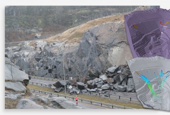
The joints in a rock mass condition, in a more or less evident way, the mechanical behavior of the rock and of the geotechnical model at the basis of any calculation. It is important, in order to correctly evaluate the stability condition, to have a precise description of the rock structure and joints, both in qualitative and quantitative terms.
For the determination of the rock's geotechnical model will be, therefore, illustrated the stages of joints survey, referring to geo-structural conditions (spacing, aperture, persistence) and to hydraulic and joint strength conditions (roughness, wall strength, degree of alteration, filling materials). The procedure used for performing the survey is described in the ISRM recommendations, "Suggested Methods for the Quantitative Description of Discontinuities in Rock Masses".
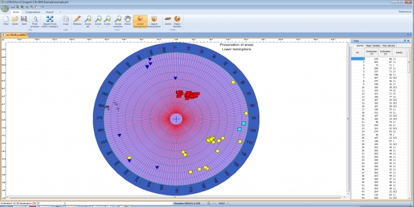
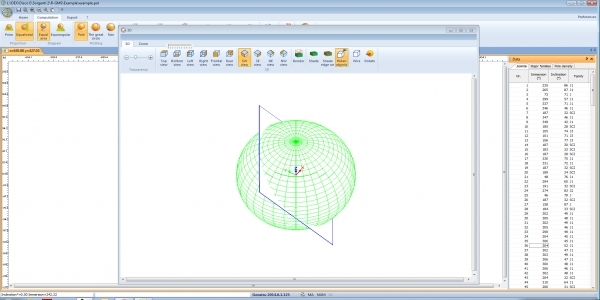
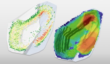
• Wulff diagram
• Schmidt-Lambert diagram
• Equal area, equiangular and stereographic polar diagram
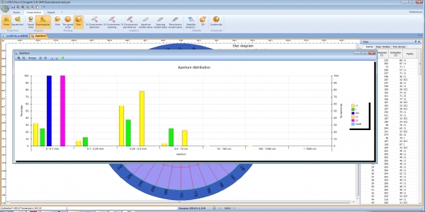
• Star diagram
• Isodensity diagram
• Percentage occurrence graphics
• Modal value
• Markland test
| Category | Rock Engineering |
| Licence Type | Commercial |
| Developer | GeoStru Software |
| Developer Website | https://www.geostru.eu/ |
| Developer Email | [email protected] |
Recommended Software

GEO5 Rock Stability

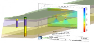
PLAXIS 2D WorkSuite

PLAXIS 3D WorkSuite

Related Software


News on Software


GeoStudio 2024.1 new release is here!


PLAXIS 2024.1 New release is out!

London’s South Dock Bridge Project
On This Day
April 18th 1945
READ MORE